Everything You Need to Know About Joshua Tree National Park
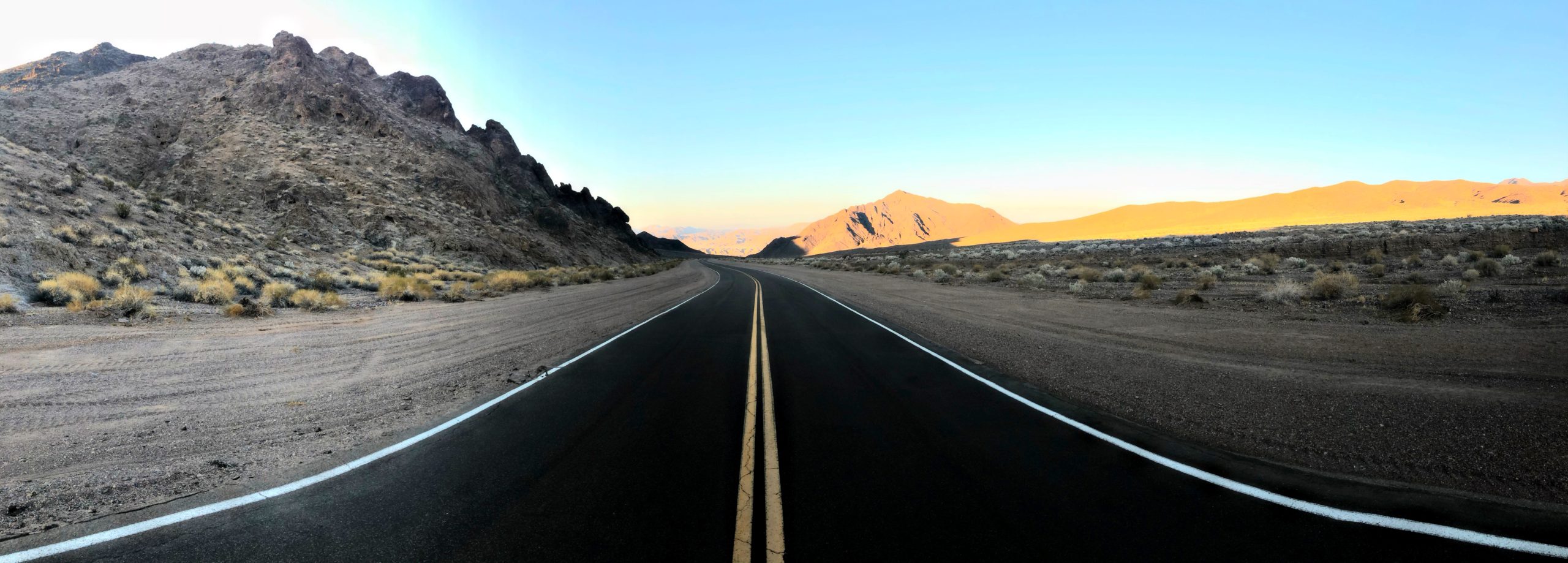
Straddling two distinct desert ecosystems, the Mojave, and the Colorado, Joshua Tree National Park is the perfect wilderness locale for hiking, camping, rock climbing, and other dirt road mountain adventures. Famous for its whimsical Joshua trees, and its distinctive mounds of bulbous rock formations, this beautiful desert wonderland is its own kind of beautiful and truly mind-blowing. Are you planning a trip to Joshua Tree? If you’re looking for an all-inclusive activity list of things you can’t miss on your first visit to Joshua Tree National Park, plus helpful hints from first-hand experience, then look no further.
Ancient Joshua Trees

The focal point of the entire park, the Joshua Tree, grows exclusively in the Mojave Desert, and at Joshua Tree National Park, they’re everywhere! These trees that look as though they are straight from Alice in Wonderland are extremely slow-growing. They increase only a couple of inches in height each year and take about 60 years to reach full maturity. J trees are crucial in providing food and shelter to local animals. Additionally, climate change poses a major threat of decimation, therefore, they are federally protected. On my trip, I spent quite a bit of time in the early morning hours exploring, admiring, and photographing this beautiful and unique plant species.
Joshua Tree National Park Quick Facts
Address: 74485 National Park Drive, Twentynine Palms, CA 92277
Website: nps.gov/jotr
Phone: 760-367-5500
Park Hours: 24/7, 365 days a year
Admission: $15 for an individual pass, $30 for vehicle pass (admits all passengers in the vehicle), both valid for 7 days; $55 for Joshua Tree annual pass; included with the purchase of annual America the Beautiful Pass
When to Go
Although open 365 days a year, there is little shade, and temperatures can often reach almost unbearable heights during the summer months. The park is busiest between February and April and then again from October until December, and the best time to visit depends entirely on what you’re looking for. All I can personally recommend is not planning your trip for summertime.
Where to Stay
If you’re seeking to reconnect with nature and really enjoy the great outdoors, there are eight campsites located in Joshua Tree National Park. Reservations are required for most sites during the busy season (September to May) and can be made up to 6 months in advance. For the rest of the year, sites are first-come, first-serve.
If camping really isn’t your style, there are several nearby hotels in the towns of Yucca Valley, Joshua Tree, and Twentynine Palms with options in every price range from budget motels to luxury villas.
How to Get to Joshua Tree National Park
One of Joshua Tree’s greatest benefits is its convenient access from densely populated Southern California cities, as well as vacation hotspots like Phoenix and Palm Springs.

Below is a list of approximate driving times from popular nearby destinations:
- Palm Springs: about 1 hour, 40 miles
- Las Vegas: about 3 hours, 185 miles
- Phoenix, Arizona: about 3.25 hours, 225 miles
- Los Angeles: about two hours, 130 miles
- San Diego: about 2.5 hours, 160 miles
Tips, Hints, and What to Pack
- There are no gas stations available in the park, so fuel up your car beforehand.
- Outside of the visitor centers, cellular reception is extremely limited, so don’t plan on relying on your phone for navigation.
- Stock up on drinking water. Plan on a gallon of water per person per day.
- Pack some snacks along with ice and sports drinks if you like (for electrolytes) in a cooler to keep everything from melting/becoming burning hot while you are out exploring.
- The desert sun is absolutely brutal, especially in the middle of summer. Bring sunscreen, and reapply as needed.
- A first aid kit that includes a pair of sharp tweezers (Anyone ever get cactus spines stuck in your skin?) can come in handy. And if not, it’s always better to be prepared and have one ready just in case.
- Sunglasses and/or a wide-brimmed hat are both great options for sun protection. You’ll be happy you brought them.
- Make sure to wear closed-toe shoes. As I mentioned previously, cacti spines sneak up out of nowhere. You’re also in the middle of the desert which is home to several species of rattlesnakes, tarantulas, and other creepy-crawly creatures, and I would guess you wouldn’t want any of them running across your bare toes.
Where to Eat
Although there aren’t any places inside Joshua Tree National Park for food or drink outside of the visitor centers, for such a small and remote place, the town of Joshua Tree has more restaurants than you would imagine. A quick Google search will point you in the right direction and help you with some recommendations, however, I can speak of the one place I did get to check out on my visit. Natural Sister’s Café is a great little spot located just outside the west entrance to the park. It’s open from 7 AM to 7 PM 7 days a week for breakfast, lunch, snacks, smoothies, and fresh juices. Personal Recommendation: Vegan Scram – SO delicious!
The Perfect One Day Joshua Tree National Park Itinerary
With just one day to check out all of the “must-see” attractions inside Joshua Tree National Park, you’ll want to plan to start super early. Below is a detailed list of the spots we hit on our visit. Note: Plan to arrive BEFORE the sun comes up while it is still dark. As it gets closer to sunrise, you’ll see patches of blues and purples begin to appear in the sky. There is no single best spot to watch the sunrise in the park, but try to find an area with plenty of Joshua trees as they’re quintessential foreground objects for the perfect sunrise photo.
1st Stop: Barker Dam and Wall Street Mill
2nd Stop: Keys View
3rd Stop: Cap Rock
4th Stop: Hidden Valley and Ryan Mountain
5th Stop: Skull Rock
6th Stop: Arch Rock
7th Stop: Cholla Cactus Garden
1st Stop: Barker Dam and Wall Street Mill

GPS Coordinates: 34° 01′ 30.4″N 116° 08′ 31.2″W (Barker Dam)
Time to Spend at Location: about 45 minutes
Hike Distance: 1.5-mile loop
Trailhead Address: Barker Dam Nature Trail, Twentynine Palms, CA 92277
Directions: From the west park entrance head south on Park Blvd. for 8.9 miles. Turn left onto Barker Dam Road and continue for 1.5 miles. Turn left at Queen Valley Road and park. Both Barker Dam and Wall Street Mill trailheads can be accessed from here.
One of the most popular hikes in Joshua Tree, the Barker Dam trail, is a great way to see a little bit of everything. The hike itself is very easy with terrain composed of soft sand, packed sand, and some rocks. The 1.5-mile loop passes through colossal boulders with tons of Joshua trees scattered as far as the eye can see. Unfortunately, during my visit, there was no water in the reservoir, but we took advantage and walked through the empty lake bed and continued onward through a Joshua tree forest to a unique rock covered with vibrant Native American petroglyphs. From there, simply continue along the trail back out to the parking lot.

Wall Street Mill

Time to Spend at Location: about 1 hour
Hike Distance: 2.15 miles, out and back
Considered the best-preserved gold mill in Joshua Tree National Park, the Wall Street Mill was used from 1930 to 1966 to process ore for small-mine operations. This well-marked trail has two trailheads. The main trailhead is Wonderland of Rocks which also provides access to Barker Dam. From the parking lot, you’ll head northeast toward the mill. After about ¼ mile or so, the trail passes the second trailhead, and then a side trail branches off to the left where about 1/10 of a mile down are the ruins of Wonderland Ranch. To get to Wall Street Mill, continue straight on the main trail past this junction. Keep going for about ¼ of a mile and you’ll see an old rusting windmill just to the right of the trail. The trail ends at the Wall Street Mill where there is a run-down mill shed, rail tracks, an old rusted car, and various other forms of loose debris to explore.
2nd Stop: Keys View
GPS Coordinates: 33° 55′ 35.7″N 116° 11′ 14.0″W
Time to Spend at Location: varies
Hike Distance: viewpoint with option for 1.2-mile roundtrip hike to Inspiration Peak
Trailhead Address: Keys View Road (Salton View Road), Twentynine Palms, CA 92277
Directions: From Barker Dam, turn right onto Barker Dam Road. Continue for 1.5 miles, then turn left onto Park Blvd. Drive for 1.6 miles, then turn right onto Keys View Road. Go for 5.5 miles, turn left to stay on Keys View Road and your destination will be on the left.
At an elevation of 5,185 feet, Joshua Tree’s highest lookout, Keys View, offers panoramic views of the Coachella Valley, Palm Springs, San Andreas Fault, Salton Sea, San Gorgonio Mountain, and on a clear day, sometimes even Mexico’s Signal Mountain. Inspiration peak, about a 5,550-foot summit, is a short hike from Keys View and is highly recommended.

3rd Stop: Cap Rock
GPS Coordinates: 33° 59′ 23.6″N 116° 09′ 49.1″W
Time to Spend at Location: 30 minutes
Hike Distance: 0.4-mile loop
Trailhead Address: Cap Rock Nature Trail, Twentynine Palms, CA 92277
Directions: From Keys View, turn right to stay on Keys View Road. Continue for 5.2 miles and turn right to park at Caps Rock.
At the corner of Keys View Road and Park Boulevard is Cap Rock. We stopped by for just a quick photo, but there is a short, well-maintained trail with plenty of trees and different-sized boulders surrounding. This is a great spot for rock climbing, a picnic lunch, or even just a brief stretch, photo op, and breath of fresh air.
4th Stop: Hidden Valley and Ryan Mountain

GPS Coordinates: 34° 00′ 44.9″N 116° 10′ 05.2″W
Time to Spend at Location: 2-3 hours depending on if hiking or not
Hike Distance: Hidden Valley = 1-mile loop, Ryan Mountain = 3 miles roundtrip
Trailhead Address: Hidden Valley Nature Trail, Twentynine Palms, CA 92277
Directions: From Cap Rock, turn right onto Keys View road. Continue for 0.2 miles and then turn left at the 1st cross street onto Park Blvd. continue for 1.7 miles and then turn left.
Hidden Valley Trail is a simple 1-mile loop that circles a small valley surrounded by differing sizes of boulders. Follow the path from the parking lot through a narrow entrance between two boulders and choose a direction to begin. This sandy desert trail provides a relaxing walk suitable for all ages and abilities. If you’re a little more of the adventurous type, you’ll find your time better spent off the trail where you can take advantage of the steep sections for climbing and bouldering.

Ryan Mountain
If you’re looking for a challenge, Ryan Mountain will surely satisfy that need. With a summit of 5,457 feet, Ryan Mountain offers panoramic views as far as the eye can see. The ascent, although strenuous, gains over 1,000 feet in elevation, and is straightforward and well-constructed with rocks from the surrounding landscape built into stairs for easier climbing. After you’ve soaked up the views and are ready to hike back, return the exact way you came, downhill from the summit.

5th Stop: Skull Rock

GPS Coordinates: 33° 59′ 52.2″N 116° 03′ 33.9″W
Time to Spend at Location: 45 minutes to 1 hour
Hike Distance: 1.7-mile roundtrip trail
Trailhead Address: Skull Rock Nature Trail, Twentynine Palms, CA 92277
Directions: Exit the parking lot for Hidden Valley Nature Trail and turn left. Drive for 0.3 miles and then turn right onto Park Blvd. Continue for 9.2 miles and Skull Rock will be on the right.
Skull Rock is exactly what you would imagine. It is a huge boulder worn away over time to perfectly resemble a skull. You can see it without even getting out of your car, but I would definitely suggest you do. A 1.7-mile trail begins directly across from the entrance to Jumbo Rocks Campground. Here you will find a simple trek through some giant rocks with plenty of opportunities to climb and explore.

6th Stop: Arch Rock
GPS Coordinates: 33° 59′ 07.5″N 116° 00′ 59.9″W
Time to Spend at Location: if parking at White Tank Campground and taking the shorter route, about an hour is plenty of time
Hike Distance: 0.4-mile loop
Trailhead Address: 2 White Tank Campground Road, Twentynine Palms, CA 92277
Directions: From Skull Rock head northeast on Park Boulevard toward Split rock for 2.8 miles. Turn right onto Pinto Basin Road. Continue for 2.7 miles and turn left onto White Tank Campground Road. Follow the road for 0.2 miles and park.
Another classic “must-see” spot is Arch rock. The 0.4-mile-long nature trail from White Tank Campground will lead you to the 30-foot granite Arch Rock as well as through several other rock formations along the way. There are a ton of other trails that weave in and out of some awesome rock piles, so definitely take the time to go off the beaten path and explore a little here. Hint: Try to find heart rock while you’re in this area. It is about a quarter-mile or so from Arch Rock.
Although I just visited Joshua Tree in August 2020 and was still able to access Arch Rock from White Tank Campground, some say to access this hike now, you must park at the Twin Tanks Parking area which is about a half-mile northwest from White Tank Campground on the opposite side of the road. This route increases the distance to Arch Rock from a 0.4-mile loop to about a 1.3-mile loop.

7th Stop: Cholla Cactus Garden
GPS Coordinates: 33° 55′ 29.1″N 115° 55′ 45.9″W
Time to Spend at Location: 30 minutes
Hike Distance: 0.25-mile loop
Trailhead Address: Cholla Cactus Garden Trail, Twentynine Palms, CA 92277
Directions: From Arch Rock Nature Trail turn right onto Pinto Basin Road and continue for 7.7 miles. Turn right and park. The cactus garden is on the south side of the road.
This enormously concentrated nearly 10-acre natural field of small cacti is located on the border of the upper Mojave Desert and the lower Colorado Desert. The Cholla Cactus, nicknamed the teddy bear cactus, appears soft and fuzzy, but of course, has an infinite amount of super-sharp cactus needles that are extremely painful to get stuck by.
These seemingly cute and cuddly cacti are actually the most feared in the southwest due to the stem joints which resemble small spikey puffs. These sharp balls either break off attaching themselves to you or your clothes if you get too close, or detach and roll around waiting for an unsuspecting victim to step on them. If you encounter one of these spikey balls, they are very difficult to remove because of the high concentration of spines on them. Just take my word for it and be careful while exploring this area.

Honorable Mentions
If you want to spend a little extra time in the park, or have an additional day or two to explore, below are some bonus stops I recommend checking out!
Intersection Rock
Centrally located, and across from Hidden Valley, the 150-foot tall Intersection Rock is widely recognized as the birthplace of climbing in Joshua Tree. There are several options and routes for climbing to the top with names like Knuckle Cracker, Huevos, Traverse of No Return, Bat Crack, and Death by Misadventure to name a few.
Old Woman Rock
Right next to Intersection Rock is Old Woman Rock. Another favorite spot for climbers of all ages and skill levels, if viewed from a specific angle, a unique profile of a woman can be seen.
Lost Horse Mine
Considered one of the best-preserved mills of its kind, Lost Horse, located off Keys View Road, is a popular destination in the park as well as a great moderate four-mile-roundtrip hike. This mine has a pretty impressive history. Between the years 1894 and 1931, it produced more than 10,000 ounces of gold and 16,000 ounces of silver which is equivalent to about $5 million today!
Surrounding Areas
While in the area, be sure to drive through Twentynine Palms and Wonder Valley where the remnants of hundreds of “jackrabbit homesteads” dot the sparse desert landscape.
Downtown Joshua Tree
Downtown Joshua Tree looks very similar to how it did back in the sixties. The authenticity of this funky, quaint downtown area makes it easy to spend a few hours wandering around checking out shops and cafes. One of the visitor centers is located here and it is the perfect spot to fuel your car and grab food for yourself.
If you have the time, definitely make it a point to visit Wind Walkers Medicine Wheel.
The Integratron
Located about 20 minutes from downtown Joshua Tree, The Integratron was designed by ufologist George Van Tassel. Van Tassel believed this structure was capable of rejuvenation, anti-gravity, and even time travel. The 60-minute Sound Bath is their “signature experience” and is designed for ultimate relaxation, rejuvenation, and introspection.
Noah Purifoy Museum
The Noah Purifoy Museum is an outdoor sculpture museum located on the outskirts of Joshua Tree in the middle of the isolated desert. The many peculiar works of art strewn across this open land are accessible to all visitors and are open to interpretation.
Pioneertown
Pioneertown is a tiny, unincorporated town that was built as an old western movie set in the 1940s. Over 50 movies and shows were filmed here during the 1940s and 1950s. Mane Street (not a typo) is home to a stable, a jail, and saloon frontage, as well as a fully functioning motel and bowling alley. The streets are closed off to cars making it a safe spot to explore and take advantage of some unique photo opportunities.
Hands down, Joshua Tree is one of the most eclectic destinations in all of California. A popular vacation spot, weekend getaway, or even just a single action-packed day trip, J-Tree offers the perfect escape from everyday chaotic city life. From outdoor activities like rock climbing and hiking to thrift shopping, and enjoying delicious food and live music, it’s no wonder record crowds are flocking to Joshua Tree.
I hope this helps with planning your trip to Joshua Tree National Park. If you’ve already had the opportunity to check it out, what was your favorite part about your visit? Did I forget any “must-do” hikes, climbs, or places?